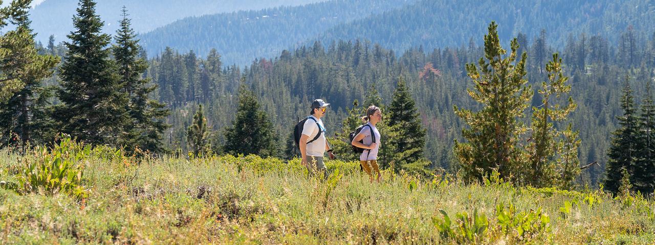
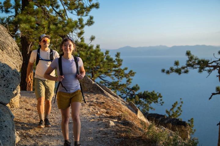
Lake Tahoe Hiking
Looking for some of the most beautiful views of Lake Tahoe? Whether you’re considering where to get the best shot of the lake or see the stars brighter than you ever have before, Lake Tahoe hiking trails offer both breathtaking views and bragging rights.
North Lake Tahoe Hiking
On the Nevada side of Lake Tahoe, conquer the summit of Mt. Rose to enjoy rushing waterfalls and 360-degree views of the surrounding landscape, including the peaks that make up the northern Lake Tahoe skyline. Mt. Rose is the second tallest peak in the Tahoe Basin, but don’t let that scare you off. The 2,300-foot elevation gain is more like a pleasant jaunt than a challenging climb. On the 10.7-mile (round-trip) Mount Rose Trail, you will encounter stunning wildflowers, wildlife and remarkable views once you reach the summit.
Tahoe Meadows, just west of the Mt. Rose summit, offers a variety of hiking options, including a 1.3-mile loop that is well-maintained and well-marked. More hiking trails can be accessed from the meadows and they will take you into the forest of Douglas fir trees to views of Lake Tahoe. In the winter, pack some birdseed and listen and watch for chickadees who are more than happy to eat out of your outstretched hand.
Along Route 28 near Incline Village, you will find some of the best views of the lake on the North Shore from the Tunnel Creek Trail to Monkey Rock. It is uphill the entire way, but that makes for the most picturesque and iconic views that are so sought after by the many who frequent the trail. Although the trail is open to hikers all year, it is best accessed from May until September. Tunnel Creek Trail is a 4.7-mile round-trip, moderate Lake Tahoe hike with mountain biking and trail running options.
If you're looking for an easy Lake Tahoe hike that provides plenty of views of the lake, the Tahoe East Shore Trail is a great bet. This wide, paved trail connects Incline Village and Sand Harbor State Park. Parking and access to the trail are available near Tunnel Creek Cafe. Stroll along the entire trail, or stop at one of the many benches and viewpoints along the way.
If seeing wildflowers was on your list, then head for the Marlette Lake Trail from Spooner Lake. This 10.2-mile out-and-back trail is lightly trafficked and located near Glenbrook, Nevada on the east side of Lake Tahoe.
South Lake Tahoe Hiking
If views are what you’re after, head over to the Rubicon Trail near Emerald Bay. The Rubicon Trail is a moderate trek that can be started from Vikingsholm and is normally hiked as an out and back. You can easily access Emerald Bay off this trail as well, making for a refreshing plunge at the end of the hike in the summer months!
Also located near Emerald Bay is Eagle Lake Trail. Only 1.8-miles long, you’ll need to climb the stairs to the falls and follow the short loop trail, eventually crossing the high bridge to enjoy the vista back down the canyon to Emerald Bay. If you want to go even further to reach Eagle Lake, follow the trail uphill for another half mile until you reach the fork, and take a right.
If you want a less strenuous Lake Tahoe hike, Cascade Falls Trail is the hike you’re looking for. Lightly trafficked, 1.4-miles long and a short jaunt away from the beautiful waterfall within Emerald Bay State Park, the trailhead is located off of Highway 89. With vantage points that offer views of Cascade Lake, Emerald Bay and more, the elevation change is barely noticeable as you take in the impressive granite formations and multiple pools to stick your feet into all year long.
Other Hiking Trails Around Lake Tahoe
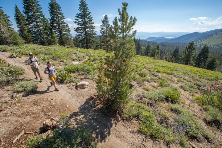
For a far more challenging (but worth it!) Lake Tahoe hike, try the section of the Tahoe Rim Trail (TRT) from Tahoe Meadows to Twin Lakes. At a whopping 7.1 miles, this out-and-back trail located near Incline Village is open to hikers, trail runners and mountain bikers. The Tahoe Rim Trail circles all of Lake Tahoe, so there are plenty of opportunities to hike sections with varying types of terrain and views.
On the east shore of Lake Tahoe, the Chimney Beach to Secret Cove trail is a favorite among locals for its low difficulty and seclusion, with the ultimate pay off of beachfront access. The 2.6-mile-long trail makes for the perfect out and back hike to plan a beach day around. Starting off of Route 28 at the Chimney Beach trailhead, you can decide to either make your way down Chimney Beach’s mile-long descent directly to the water or make the full hike over to Secret Cove’s secluded, boulder-covered shoreline.
While Mt. Rose and Relay Peak may be the tallest peaks in the Northern Nevada area, the Tamarack Peak Loop also has spectacular views. Clocking in at 6 miles encircling the peak, there are several vantage points to stop and take in the beauty of the lake below, the sprawling views of western Nevada and even a waterfall at the halfway point. You can start the hike about a half-mile in from the Mt. Rose trailhead where the trail splits, and trek along less than 500 feet elevation gains throughout the hike.
No matter where you look, Lake Tahoe Hiking is one of the best ways to see the lesser-known beauties of Northern Nevada. Lake Tahoe hiking trails range from easy to difficult, challenging visitors to defy their limitations and charge forward to experience the area like a true local. It’s time to see how the lake got its name as the Jewel of the Sierras, and it starts when you lace up those hiking boots and get out there.
Looking for hiking trails in Reno? We've got you covered!