Reno Hiking
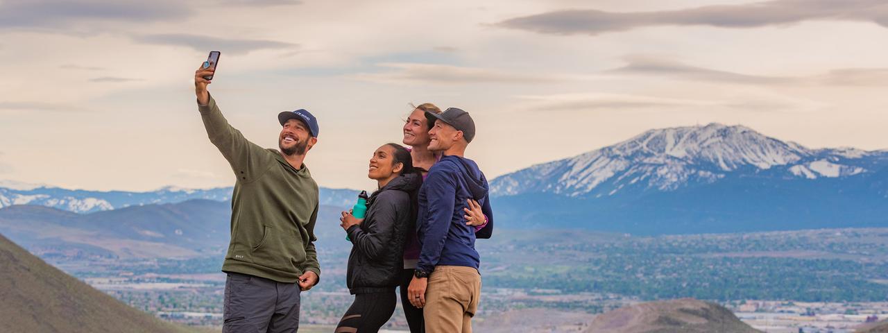
Reno was meant to be explored.
Hiking trails in Reno don’t demand you to be a seasoned hiker to get the most out of Reno's hiking trails. They’re perfect for any fitness level, and anywhere you look in Reno, there’s a trail to wander down that will reward you with unbeatable views. Whether you’re looking for a casual scenic stroll or seeking an all-day adventure, here are the best hiking trails in Reno that’ll have you trekking back for more.
Hiking Trails in Reno
Many of the most popular hiking trails in Reno are perfect for beginners, those short on time or families with little ones. The Oxbow Nature Study Area Trail, located off Dickerson Road, and the Tom Cooke Trail in west Reno, offer low-key outdoor experiences. The Tom Cooke Trail is part of the urban trail system, which is maintained by the City of Reno Parks, Recreation and Community Services Department.
The Tom Cooke Trail is right next to the Truckee River and is open to hiking, mountain biking, horseback riding and trail running. Motorized vehicles are not allowed. Dogs are also permitted on the Tom Cooke Trail if they are on a leash. This short hike is about 1.2 miles roundtrip, making it a perfect choice for those looking for a quick way to connect with nature.
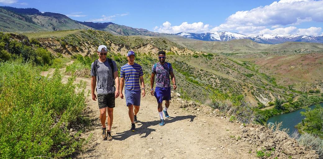
You can add variety to your hike on the Tom Cooke Trail if you access the side loop trail by ascending at the trailhead. Though the trail is short, it climbs a set of switchbacks starting right after crossing the Truckee River footbridge. You will gain a couple hundred feet in elevation quickly and will be rewarded with some tremendous Nevada scenery.
Oxbow Nature Study Area is a hidden gem just outside of downtown Reno and perfect for an easy hike that makes you feel like you're miles from civilization. The nature trail is approximately one mile long and loops from the pond through cottonwoods and willows, past grasslands and back along the Truckee River. There are many opportunities to view wildlife all year long within the Study Area’s 22 acres.
Local Favorites
Little Legs, Big Adventures
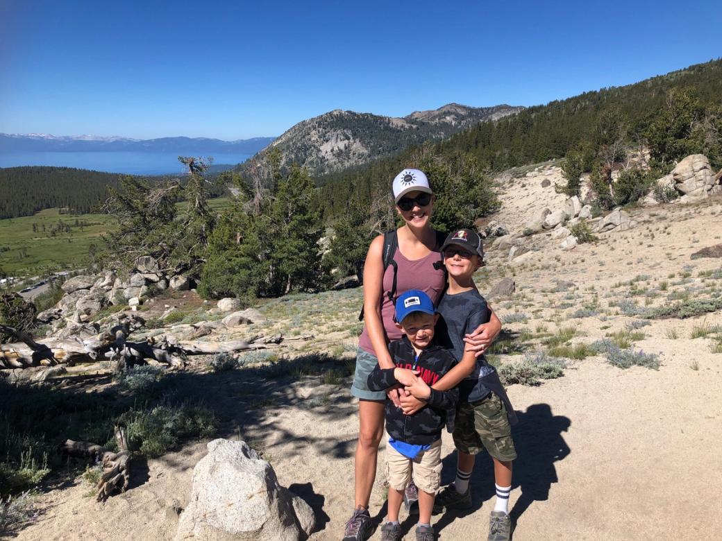
Nicole Shearer lives in Reno with her husband and two boys. She and her family of weekend warriors are often out hiking. She shares her favorite kid-friendly hikes and top hiking tips for parents. Explore her recommendations for kid-friendly hikes in Reno Tahoe.
There’s Something for Everyone
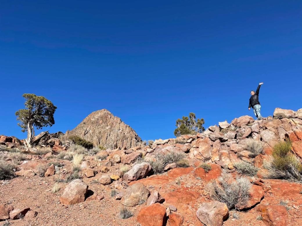
Over the years, Julie Johnson has explored just about every corner of this region. She firmly believes there’s something for everyone here: whether you’re in town for a quick weekend escape or you’re chasing a multi-day adventure! Explore her favorite hidden gem hikes in Reno Tahoe.
Hunter Creek Trail
Alex and Pete know any day outdoors is a good day. If you’re looking for an iconic hike in Reno Tahoe without long drives or complicated trail maps, Hunter Creek is just the spot. Close to downtown and accessible most of the year, here’s their overview of Hunter Creek Trail.
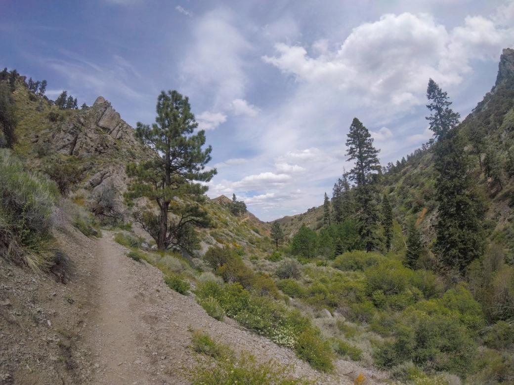
Other hikes in the Truckee Meadows area include the Huffaker Park Loop Trail, the Mira Loma Urban Trail, Whites Creek Trail and Galena Creek Trail.
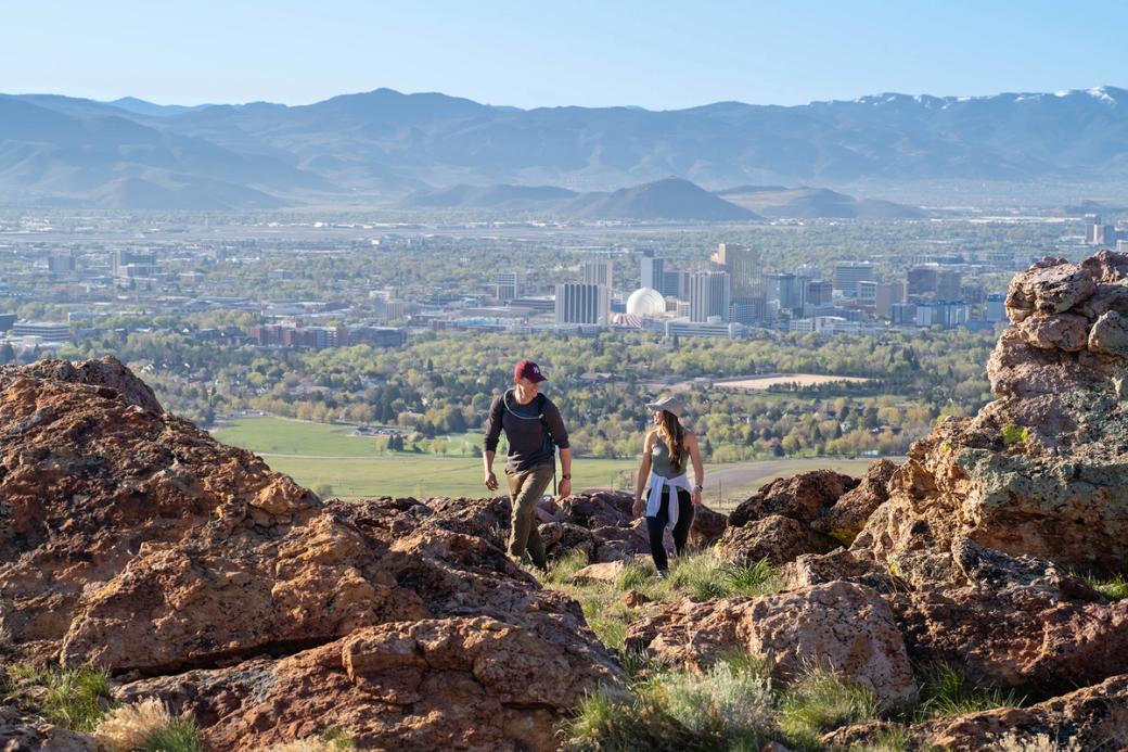
In South Reno, the Huffaker Park Lookout Trail gives way to sweeping views of the Reno skyline. It is about 1.7 miles long and is perfect for both walking and trail running. There is also a shorter option from the same trailhead if your time is limited.
The Mira Loma Urban Trail incorporates Mira Loma Park’s awesome assortment of amenities like fitness courses along the trail, sports fields, a playground, picnic areas and restrooms. Mira Loma Park also has the area’s largest skatepark with several bowls, halfpipes, rails and funboxes for skateboarders, roller skaters and BMX riders to enjoy. Follow the water’s edge along the northeastern part of the loop where Boynton Slough meets Mira Loma Park, and you’ll hit the trailhead.
Rancho San Rafael Regional Park is home to miles of trails that take you through wetlands and natural desert landscapes, as well as the beautiful May Arboretum. This park will make you feel like you’re miles from the city even though you’re only minutes from downtown. From the park, and from several other parts of Reno and Sparks, you will see the "N" on the hill, north of McCarran Blvd. You can access the hiking trail to the N on foot or by bike via the tunnel that connects the south and north sections of Rancho San Rafael Park. The short but heart-pumping hike to the N is worth it for the panoramic views of Reno and Sparks, surrounded by the Virginia Foothills and Sierra Nevada mountains.
The Keystone Canyon Trail is located in the Humboldt-Toiyabe National Forest and is one of the most popular hikes on Peavine Mountain. Just north of McCarran Blvd, this 4.8-mile loop is a heart-pumping, exciting hike. Throughout the hike, you will experience breathtaking panoramic views of Reno and Sparks. Plan your hike around sunrise or sunset for amplified views. Mountain bikers love this trail, so be sure to share the road! This trail is open year-round and dogs are welcome on a leash. There are two different trailheads where you can park - off of McCarran at the south end of the loop or on Hogue Road at the north end of the loop.
Another popular hike on Peavine Mountain that's a bit more challenging, is the Peavine Peak Trail. This 8.6-mile trail usually takes about 5.5 hours to hike and leads you to the top of Peavine Peak, where you're afforded views of the city, Mount Rose Wilderness and the Sierra Nevada. Plan accordingly if hiking this trail since it doesn't provide much shade, so it's best explored in the spring or fall when temperatures are cooler. Dogs are welcome on the trail, but keep an eye out for birds and other wildlife.
If you’re looking for longer or more challenging hikes in Reno, check out Hunter Creek Trail or Upper Thomas Creek Trail. Both trails offer gorgeous views of streams and waterfalls for you (and your pup!) to enjoy all year long. Hunter Creek Trail rewards those who make it through the 5.7-mile hike with a magnificent flowing waterfall, and Upper Thomas Creek, a 5.5-mile hike, does the same, but with a dazzling flowing creek for a nice, refreshing splash of water before looping back around. For more waterfall hiking inspiration, check out our guide to Reno and Lake Tahoe hikes with waterfalls.
Additional hiking near Reno includes a myriad of Lake Tahoe hiking trails to choose from that are only a short drive away - like the Rubicon Trail, which hits 2 different state parks near Lake Tahoe. Looking for a greater challenge? Check out our guide to backpacking the Sierras.
Reno hiking trails offer outdoor lovers of all levels a way to unwind and unplug. Connect with nature, embrace your wild side and hit the trails today! Want to stay longer? There are many Reno camping spots that offer quick access to hiking trails. And if it's getting a little too chilly for a brisk hike, jump on some Tahoe snowmobiles to find high-up spots even when it's snowing - or check out other famous Lake Tahoe winter activities.
P.S. Don’t forget to upload your hiking pictures to social media using the hashtag #RenoTahoe for a chance to be featured on the site. Post your pictures for other curious hikers to gain some inspiration from your journey so they’ll get out there, too!
