When you talk about the Rubicon Trail, it’s important to make a quick distinction: there’s the 22-mile 4X4 trail that’s the namesake of several Jeep models, and then there’s the popular hiking trail that showcases some of Lake Tahoe’s most stunning scenery across 16 miles. Both are found in the same geographic region, but here we’re talking about the latter, which takes hikers through D.L. Bliss State Park and Emerald Bay State Park in South Lake Tahoe.
Hiking Rubicon Trail - Lake Tahoe
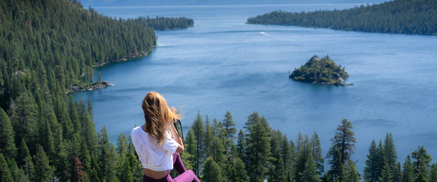
Although the entire trail is 16.4 miles, many day hikers opt for the shorter five-mile stretch between D.L. Bliss State Park and Emerald Bay. Along the way, hikers will see views of Lake Tahoe, Vikingsholm Castle, Lester Beach and the Rubicon Point Lighthouse on a densely forested but (thankfully) canopied trail that hugs the lake for nearly its entirety.
The trail is moderately difficult, and can be accomplished in roughly seven hours out-and-back.
Note: for those looking to complete the full circuit, this Sierra Nevada hike is easily doubled in length. The elevation change over the course of the hike is around 1,400 feet, with 6,600 feet being the highest elevation it reaches.
Rubicon Trail Map
Trailheads are located in the following places:
- Rubicon Trailhead in D.L. Bliss State Park
- Vikingsholm at Emerald Bay State Park
- Eagle Point Campground in Emerald Bay
- Wentworth Springs, Loon Lake
Most day hikers tend to start at either the D.L. Bliss trailhead or one of the Emerald Bay trailheads and hike the trail one way.
Stay Overnight
After a day of exploring Lake Tahoe and the Rubicon Trail, head north to find cozy, rustic digs on the North Shore in Incline Village. Or, stay on the road a bit longer and bed down in a chic, urban boutique hotel in Reno. Find the perfect place to lay your head on our lodging page.